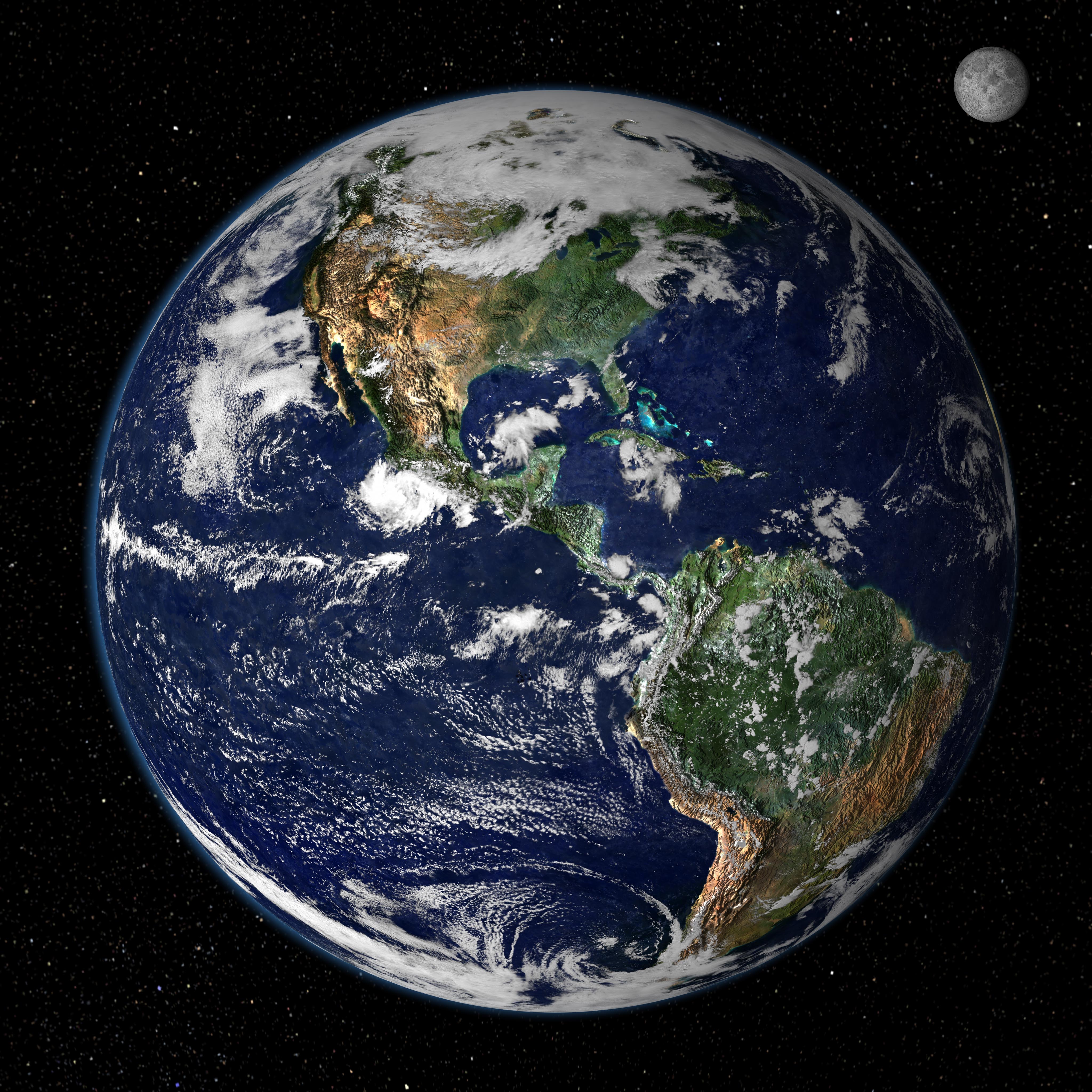
 This was kepler-b22 and take a look at our planet:Its almost the same,its just that our planet's water its a litlle bit darker.
This is our galaxy.

these r the 7 planets in our solar system:

Look there's some pictures with our planet seen from the space: xD

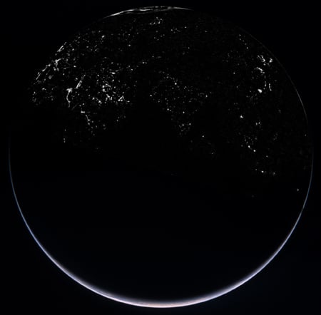
Take a look at thoses awesomes pictures.Our planet earth seen from space in the night. Beautiful! :)


Here's a picture of a vulcano seen from the space!

The Advanced Land Imager (ALI) on NASA’s Earth Observing-1 (EO-1) satellite captured this high-resolution, natural-color images on December 23, 2011 showing an island being formed in the Red Sea. Credit: NASA.As Seen From Space: Volcanic Eruption Creates New Island in the Red Sea.Looking for some new lake-front property? Here’s the newest available on the planet. Volcanic activity in the Red Sea that started in mid-December has created what looks like a new island. The Advanced Land Imager (ALI) on NASA’s Earth Observing-1 (EO-1) satellite captured a high-resolution, natural-color image on December 23, 2011 showing an apparent island where previously there was none. Here, a thick plume of volcanic ash still rises from the new island.

Satellite image of the same region from October 24, 2007. Credit: NASA.
According to the NASA Earth Observatory website, the volcanic activity occurred along the Zubair Group, a collection of small islands off the west coast of Yemen. The islands poke above the sea surface, rising from a shield volcano. This region is part of the Red Sea Rift where the African and Arabian tectonic plates pull apart and new ocean crust regularly forms.
According to news reports, fishermen witnessed lava fountains reaching up to 30 meters (90 feet) tall on December 19.
Satellite Image of the ‘Snowtober’ Storm:

The 'Snowtober' storm in the Northeastern US, as seen by the The Moderate Resolution Imaging Spectroradiometer (MODIS) on NASA’s Terra satellite. Credit: NASA .
An unusual October storm dumped wet heavy snow across much of the Northeast US over the weekend, as much as 32 inches (81 centimeters) in some areas. Nicknamed “Snowtober,” the storm left as many as 3 million people without power at the snowstorm’s peak, and was blamed for the deaths of at least 10 people. In this images from the Moderate Resolution Imaging Spectroradiometer (MODIS) on NASA’s Terra satellite, a swath of snow sweeps from West Virginia northeastward to Maine, as seen on Oct. 30, 2011. Clouds hover east and west of the snow, blocking the satellite sensor’s view of western Pennsylvania and parts of the Atlantic Ocean.
The storm broke snowfall-total records in many cities, with strong winds and heavy tree damage as the heavy snow easily clung to trees which still had their leaves, snapping branches and power lines.
NASA’s New Climate and Weather Satellite Launches:http ://www.universetoday.com/90380/nasas-new-climate-and-weather-satellite-launches/
The National Polar-orbiting Operational Environmental Satellite System Preparatory Project, or NPP, launched successfully on a Delta 2 rocket early today at at 5:48 a.m. EDT 09:48 GMT (or precisely at 2:48:01.828 a.m. PDT, according to NASA’s Twitter feed). The next generation satellite will measure both global climate changes and key weather variables, as well as test new technologies for future Earth observing satellites.
The spacecraft has also successfully separated and is now in orbit. The separation video is below.
Source: NASA Earth Observatory. :D
frumi
RăspundețiȘtergere:D
xD ms
RăspundețiȘtergere